Sorry, www.ridge.co.uk is not supported by Internet Explorer.
Sorry, www.ridge.co.uk is not supported by Internet Explorer.

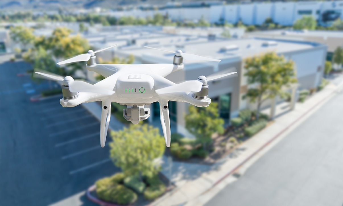
Over the last decade, drone technology has vastly expanded the tools available to building surveyors, so we can carry out visual inspections and assess heat loss more accurately, quickly and safely. It’s enabled us to zone in on defects, find needles in haystacks and take a more diagnostic approach to solve our clients’ problems.
But we’ve still only scratched the surface of what it can do. I’m a geographer by training and a drone specialist by career, and I’ve spent the last ten years working out how to put the right sensor in the right space to capture information to help building owners make better, more informed decisions.
Now, Ridge is exploring new ways of using drones at scale to make the physical world digitally accessible – ultimately, to democratise drones and drone-derived data so that everyone can benefit from it.
“Google Earth on steroids”
We’ve been focusing on two types of drone-mounted sensors: optical and infrared. They’re light, compact and have the broadest range of applications. Attached to a drone, they enable us to capture a photorealistic visual of a site and overlay thermal imaging to see defects that aren’t visible with the naked eye. A visual inspection of a flat roof might reveal a small penetration, but a thermal survey can show us that the insulation around it is saturated, and that a more extensive repair is necessary to prevent structural damage.
Better still, we can stitch all those images together to create photorealistic 3D models, using a process called photogrammetry. If a point is visible in three different images, an algorithm can triangulate its position. When we do that millions of times across overlapping images, it creates a point cloud. From that, we can take measurements that are accurate down to 5mm. It’s like Google Earth on steroids.
This level of detail will be valuable for many different activities in property, construction and land, for generating new insights, improving accuracy or radically speeding up current processes. For example, I helped one energy provider slim down its retrofit assessments from 6-7 hours, with various surveyors coming to capture different data sets, to just 20 minutes per house, based on digitising the property and extracting the crucial information. We’re already seeing digital twins become more widely used for facilities management in large infrastructure such as airports and ports, and National Grid is deploying drones for autonomous inspections of power lines. Soon, these technologies could be used across the built environment.
Scaling up: beyond visual line of sight operations
It’s very difficult to scale up a drone service if you think of them as remote control helicopters. You need to get the right person to site with the right equipment in the right environmental conditions with all the right insurances.
But what if we could situate a drone on location, and fly it from a centralised control room, or if it could fly itself autonomously? This is called drone-in-a-box. Under UK regulations, remote and autonomous drone flight is not currently permitted: the Civil Aviation Authority (CAA) requires that a qualified operator be no more than 500m away, within direct sight of the drone.
The CAA has published a roadmap to lifting the regulatory barriers for authorised operators, and we’ve been working with it to demonstrate how “beyond visual line of sight” (BVLOS) operations could be safely achieved, carrying out proof-of-concept projects using drone-in-a-box technology within the current regulations. We’ve developed a simulation software that allows us to navigate in complex environments. All our operations are conducted via the simulator and executed as pre-programmed missions, so we know they can be flown safely and that they will capture the data that’s been requested. There’s always a qualified operator on the ground, but in about 60% of cases, they’re purely there in a safety pilot capacity.
BVLOS has captured the drone industry’s imagination, and it’s enabling new use cases and applications. We’re building a robust, comprehensive log of our activities so that when the regulatory gate does open, we’re ready to seize those opportunities for our clients.
Moving to drone-as-a-service (DaaS): on-demand data for any use case
Drone-in-a-box and BVLOS are just a stepping stone to our ultimate aim of democratising drone technology, so that any client can access the valuable data it produces.
We are building an automated drone infrastructure, consisting of drone-in-a-box technology, vehicle-mounted drones and drones controlled by operatives in the field, all coordinated from a central network. You could think of it like a mobile network, or a network of IoT devices harvesting data from across an urban area – an infrastructure that can support many different use cases, and which everyone can gain value from.
We have developed a booking portal, PilotForce, which any stakeholder in the catchment area of the network can use to book a drone flight, as easily as booking an Uber. A client might task a drone for a particular service inspection or security patrol, or they might just request data – a topographic survey of a construction site would not require a drone for an entire day.
We will also offer a subscription model to clients that need regular inspections of their site, buildings or assets. For example, a university might commission a gutter inspection as an ongoing monitoring service. Because we can automate a large part of the technology, the cost per flight is a fraction of what it was just six months ago.
We are calling this drone-as-a-service (DaaS), and it’s a Swiss army knife for applications across the urban environment, from roof inspections to live traffic monitoring and much more besides.
Using AI to speed up data analysis
One of the benefits but also the challenges of drones is the sheer volume of data they collect. We’re starting to use AI to automate the leg work of sifting through thousands of images to isolate valuable nuggets of information, freeing our subject matter experts from collecting data and enabling them to spend more time acting on it. Data harvesting and interpretation analysis will allow them to consult on live construction sites or existing assets remotely, in real time or based on recent data, without needing to be there.
Applying this capability within Building Surveying is only the start. We’re embarking on an information revolution that will have far-reaching implications for every part of the built environment. There’s a lot of hype about what the digital transformation will mean for construction. At Ridge, we’re making it real, demonstrating what it will look like and how it will deliver tangible benefits for our clients.
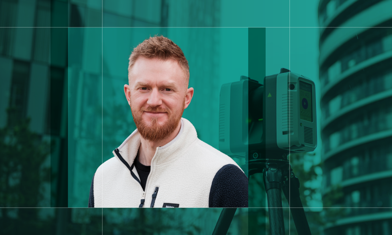
Mike Edwards is a Partner in the Building Surveying team at Ridge. He can be contacted on mikeedwards@ridge.co.uk

Thank you for signing up. We look forward to sharing updates with you